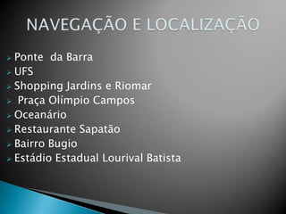
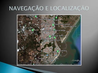
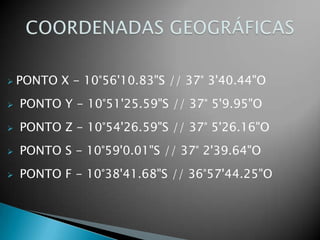
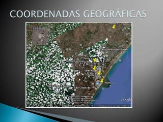
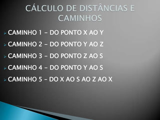
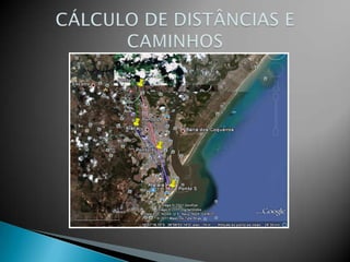
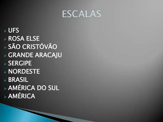
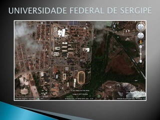
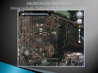
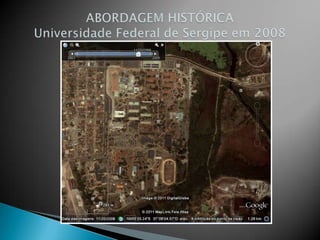
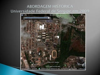
GOOGLE EARTHConstrução de conceitos cartográficos  utilizando o Google earth
NAVEGAÇÃO E LOCALIZAÇÃOPonte  da Barra
UFS
Shopping Jardins e Riomar
 Praça Olímpio Campos
Oceanário
Restaurante Sapatão
Bairro Bugio
Estádio Estadual Lourival BatistaNAVEGAÇÃO E LOCALIZAÇÃO
COORDENADAS GEOGRÁFICASPONTO X - 10°56'10.83"S // 37° 3'40.44"O
 PONTO Y - 10°51'25.59"S // 37° 5'9.95"O
 PONTO Z - 10°54'26.59"S // 37° 5'26.16"O
 PONTO S - 10°59'0.01"S // 37° 2'39.64"O
 PONTO F - 10°38'41.68"S // 36°57'44.25"OCOORDENADAS GEOGRÁFICAS
CÁLCULO DE DISTÂNCIAS ECAMINHOSCAMINHO 1 - DO PONTO X AO Y
CAMINHO 2 - DO PONTO Y AO Z
CAMINHO 3 - DO PONTO Z AO S
CAMINHO 4 - DO PONTO Y AO S
CAMINHO 5 – DO X AO S AO Z AO XCÁLCULO DE DISTÂNCIAS ECAMINHOS
ESCALASUFS
ROSA ELSE
SÃO CRISTÓVÃO

Google terra