![Topographic Maps ,[object Object]](data:image/gif;base64,R0lGODlhAQABAIAAAAAAAP///yH5BAEAAAAALAAAAAABAAEAAAIBRAA7)
Recomendados
Mais conteúdo relacionado
Mais procurados
Mais procurados (20)
Destaque
Destaque (11)
Semelhante a Lab five us geological survey topographic maps & us public
Semelhante a Lab five us geological survey topographic maps & us public (20)
Mais de lschmidt1170
Mais de lschmidt1170 (20)
Último
Último (20)
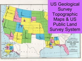
Lab five us geological survey topographic maps & us public
- 1. US Geological Survey Topographic Maps & US Public Land Survey System