Plan Bothnia Promotes Open Maritime Planning
•Transferir como PPTX, PDF•
0 gostou•226 visualizações

The document discusses openness and transparency in maritime spatial planning. It promotes planning processes and data being openly accessible on websites like www.planbothnia.org. The document was created by Manuel Frias, a project officer, for a dissemination event on September 27, 2011 about maritime spatial planning and HELCOM-VASAB MSP Principles.

Recomendados
Mais conteúdo relacionado
Destaque
Destaque (15)
Mais de Manuel Frias
Mais de Manuel Frias (20)
Plan Bothnia Promotes Open Maritime Planning
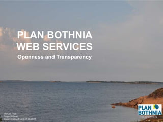
- 1. PLAN BOTHNIA WEB SERVICES www.planbothnia.org Openness and Transparency Manuel Frias Project Officer Dissemination Event 27.09.2011
- 2. ” Planning processes should be open and transparent ” ” Data should be openly accessible ” HELCOM-VASAB MSP Principles
- 4. Maritime SPATIAL Planning Flickr: Bonnie Craven Francis
Notas do Editor
- About information (specially geographic information) and how we share the information we collect
- The reason we want to be open and transparent: we follow the HELCOM-VASAB recommendation
- How we do it: We built a homepage with several services around it. Let me talk first about the map service and about how we handle the geographical information
- This is a project about maritime SPATIAL planning. Everything has a location. These wind turbines have coordinates. So we are trying to collect all the possible information about the Bothnian Sea
- With the datasets we compile we make maps like these...
- ...and put them into this map service. The map service help us to view the layers we have . We can analyze, overlap, and even download.
- All these datasets are in the assesment document. The assessment document is the compilation of all information and the base for the future planning phase.
- And then we have a blog where we publish our work.
- Twitter is also a way to share what we do
- In photo-sharing service we publish pictures of our meetings and travels.
- And finally a document database where you can find all documents.