GIS Expo 2014: GIS Data at the National Marine Fisheries Service
•
3 gostaram•802 visualizações

Presentation by Robert O'Conner, NOAA Fisheries

Recomendados
Recomendados
Mais conteúdo relacionado
Semelhante a GIS Expo 2014: GIS Data at the National Marine Fisheries Service
Semelhante a GIS Expo 2014: GIS Data at the National Marine Fisheries Service (20)
Mais de Hawaii Geographic Information Coordinating Council
Mais de Hawaii Geographic Information Coordinating Council (20)
GIS Expo 2014: GIS Data at the National Marine Fisheries Service
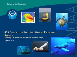
- 1. GIS Data at the National Marine Fisheries Service Mapping for managers, scientists, and the public March 2014
- 2. 2 NMFS PIR Area of Responsibility
- 4. 4
- 8. 8 http://www.soest.hawaii.edu/pibhmc/ Hawaii Mapping and Research Group Bathymetry Synthesis
- 10. 10 Essential Fish Habitat Mapping http://www.habitat.noaa.gov/protection/efh/efhmapper/
- 11. 11
- 12. 12 GIS Database Management & Inventory
- 13. 13 High Res Multibeam Inventory
- 15. 15 AquaMap
- 17. 17 Predator Drone Data Collection IR Imagery EO Imagery
- 18. 18 NMFS PIRO Mapping Products www.fpir.noaa.gov/HCD/hcd_mapping.html