![ESA Eduspace ,[object Object],Earth Observation applications for education and training. Eduspace is primarily aimed at secondary school students, but some material is more advanced and better suited towards university undergraduates.](data:image/gif;base64,R0lGODlhAQABAIAAAAAAAP///yH5BAEAAAAALAAAAAABAAEAAAIBRAA7)
Recomendados
Mais conteúdo relacionado
Destaque
Destaque (8)
Semelhante a Interactive METEOSAT: aplicație educațională pentru aplicații meteorologice - Vasile Crăciunescu
Semelhante a Interactive METEOSAT: aplicație educațională pentru aplicații meteorologice - Vasile Crăciunescu (20)
Mais de vasile33
Mais de vasile33 (7)
Último
Último (20)
Interactive METEOSAT: aplicație educațională pentru aplicații meteorologice - Vasile Crăciunescu
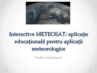
- 1. Interactive METEOSAT: aplicație educațională pentru aplicații meteorologice Vasile Crăciunescu
- 9. EKU image
- 16. Map View
- 17. Weather symbols
- 18. Get info
- 19. Archive
- 20. Archive
- 21. Archive
- 22. Archive
- 23. Archive
- 24. Channels: VIS
- 26. Channels: IR 1.6
- 27. Channels: IR 1.6
- 30. Future work
- 31. Live demo