![The Specification ,[object Object],[object Object],[object Object],[object Object],[object Object]](data:image/gif;base64,R0lGODlhAQABAIAAAAAAAP///yH5BAEAAAAALAAAAAABAAEAAAIBRAA7)
Recomendados
Mais conteúdo relacionado
Mais procurados
Mais procurados (20)
Semelhante a Rivers Revision
Semelhante a Rivers Revision (20)
Mais de Keith Phipps
Mais de Keith Phipps (20)
Rivers Revision
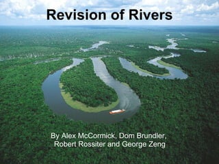
- 1. Revision of Rivers By Alex McCormick, Dom Brundler, Robert Rossiter and George Zeng
- 3. Specification Guidance Scale The earth's crust is modified by fluvial processes which result in distinctive landforms . Long and cross profiles, processes of erosion (hydraulic power, corrosion, corrasion, attrition), transport (traction, saltation, suspension, solution) and deposition . The characteristics and formation of waterfalls, gorges, meanders, ox-bow lakes, levees, flood plains and deltas. Recognise and describe fluvial features on Ordnance Survey maps and photographs. How a river profile changes downstream and the relative importance of the processes at work such as the typical V shaped valley in the upper course where vertical corrasion dominates . Students will be expected to be able to name an example, describe each feature and to explain its formation making reference to the processes at work. There is an opportunity in this section to revise the OS skills as on page 37 as well as to introduce photographic interpretation etc. R/L R/L R/L
- 4. Specification Guidance Scale The interaction between people and fluvial environments. River basin management issues, the causes and effects of flooding in river basins in the context of both LEDCs and MEDCs. The short, medium and long term strategies used to attempt to manage the floods. Contemporary issues concerning use of hard vs soft strategies and attempts to achieve sustainability . The social, economic, environmental and political issues that have an impact upon strategies and the values and attitudes of interested groups. River basin management issues should be studied in the context of both LEDCs eg. Bangladesh and MEDCs eg. the European floods of the 1990s . One case study from the MEDC and LEDC should be chosen to study the physical and human causes of flooding and the impact of the floods. TV news is a good source of up to date information. Flood management should include efforts to prevent flooding and strategies used to ameliorate the impact. Candidates should be aware of how and why the methods used are different between the LEDC and MEDC and now currently there is a move away from hard engineering e.g. dams on the Colorado to softer approaches e.g. flood plain zoning, improved warning system . Opportunities to use ICT to research flood disasters. R/L N/R/L
- 15. The Rhône Delta Page 39 CASE STUDY Satellite Image of the Rhône Delta
- 27. River Regimes An example of a winter maximum of discharge for the River Severn. Page 44
- 31. Flood Hydrographs Page 45 This hydrograph shows the rising limb, falling limb and lag time.
- 33. This shows the extent of the flooding compared to the normal view of the river Mississippi. CASE STUDY Page 46