Natalie Springuel- Supporting Working Waterfront Communities
•Transferir como PPTX, PDF•
0 gostou•384 visualizações


Recomendados
Mais conteúdo relacionado
Semelhante a Natalie Springuel- Supporting Working Waterfront Communities
Semelhante a Natalie Springuel- Supporting Working Waterfront Communities (20)
Mais de GrowSmart Maine
Mais de GrowSmart Maine (20)
Natalie Springuel- Supporting Working Waterfront Communities
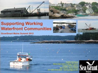
- 1. Supporting Working Waterfront Communities GrowSmart Maine Summit 2012 Natalie Springuel Maine Sea Grant College Program College of the Atlantic Bar Harbor, Maine 04609 207-288-2944x5834 nspringuel@coa.edu
- 2. Projections from ME State Planning Office Maine’s coast is in transition… …By 2050, the majority of Maine’s coast will be classifiable as suburban/urban
- 3. Modern homes, second homes… Maps Developed by Maine Coast Heritage Trust as part of their 2012/3 Strategic Planning effort
- 4. Result: Declining Working Waterfront Access • Only about half of the 1,555 saltwater access points support commercial fishing activities/marine trades, with limitations. • 66% are privately owned and are vulnerable to conversion. • Of Maine’s 5,300 mile coast, only 20 miles support WW. Mapping Maine’s Working Waterfronts, map by Island Institute
- 6. “This is not a promotional brochure.” Project GOALS •Describe the characteristics of working waterfront communities that residents value and want to protect. •Inform “newcomers” about what to expect and what to not try to change. •Celebrate working waterfronts for what they really are: working communities reliant on the sea.
- 7. Reactions to the brochures have been overwhelmingly positive.
- 8. Want to get involved? • Working waterfront brochures: nspringuel@coa.edu • Tools and information about Maine working waterfronts and coastal access: www.AccessingTheMaineCoast.com • Funds to protect Maine working waterfront lands: www.wwapp.org/ • Maine Working Waterfront Coalition: www.ceimaine.org/Fisheries • National Working Waterfront Network: www.wateraccessus.com/ • Third National Working Waterfronts and Waterways Symposium (March 2013, Tacoma Washington): www.workingwaterfronts2013.org Moosabec and Harpswell Project Partners: The Towns of Beals, Jonesport, Harpswell, and… Maine Working Waterfront Coalition