
Recomendados
Mais conteúdo relacionado
Destaque
Destaque (11)
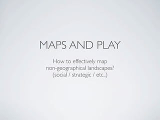
Maps And Play
- 1. MAPS AND PLAY How to effectively map non-geographical landscapes? (social / strategic / etc..)
- 2. THE EVOLUTION OF LBS First Try Dodgeball, Latitude, etc. D “Friends on a map”
- 3. THE EVOLUTION OF LBS First Try Second Try Latitude, Loopt, etc. Foursquare, etc. D “Friends on a map” “List of places”
- 4. THE EVOLUTION OF LBS The second try is taking off more than the first. Why? D
- 5. GEOGRAPHICAL MAPPING Needs being addressed: - Orient Directionally - Gauge Distances - Orient to physical landmarks - Identify transit routes <- Pretty good! D
- 6. SOCIAL MAPPING Needs being addressed: - Orient Socially - Nearby places <- TMI! <- Important info gets lost D
- 7. SOCIAL MAPPING Needs being addressed: - Orient Socially - Nearby places <- Does the job. <- But the best we can do? D
- 8. WHAT I HOPE TO COVER - Use cases for non-geographic landscapes? (games, etc) - What dimensions do we need to map? - Effective ways to map non-geographic landscapes? - Explore outside the Mercator/GMaps projections - How to best communicate using maps? - Keep it concrete: what can we do with existing tech?
- 9. IDEAS FOR DISCUSSION Psychogeography Social traces Re-projection Social graph Cartoons Diagrams