
Recomendados
Mais conteúdo relacionado
Mais procurados
Mais procurados (20)
Destaque
Destaque (19)
Semelhante a Reading Topographic Maps
Semelhante a Reading Topographic Maps (20)
Mais de duncanpatti
Mais de duncanpatti (20)
Último
Último (20)
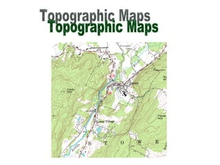
Reading Topographic Maps
- 2. Topographic Maps: Map that shows the physical characteristics of an area. Natural : rivers, streams, mountains Man-made : roads, railroad tracks, bridges and buildings
- 5. 1:250,000 scale, 1 inch represents about 4 miles 1:100,000 scale, 1 inch represents about 1.6 miles 7.5 minute 1:24,000 scale, 1 inch represents 2,000 feet
- 8. Contour line: line that connects points of the same elevation Elevation: height above sea level
- 10. Contour interval: shows the same change in elevation from contour line to contour line (represented by a number) Index contour: typically every 5th contour line, usually bolder or darker and it will have a number
- 12. 75 50
- 13. 1400 1450
- 14. The slope of land is shown by the closeness of the contour lines. Lines close together: steep slope; lines far apart; gentle slope
- 16. Full circle : shows the top of a hill, highest point; called the “summit” Often an “X” represents the actual elevation at that point
- 18. Full circle with short lines in it (hachures) represents a “depression” (downward change in elevation)
- 25. Color map: Green: land Blue: water Black: anything man made (buildings, roads, bridges, railroad tracks) Pink: areas of high density White : uninhabited areas