FCP 3: Learn Map Reading Skills with Topo Map Fundamentals
•Transferir como PPT, PDF•
0 gostou•1,035 visualizações

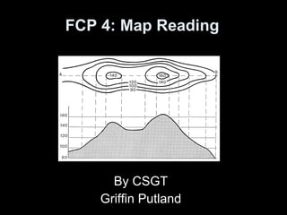
The document discusses map reading skills, defining a map, types of maps like topographical maps, how topographical features are represented through techniques like contours and spot heights, scales which show the ratio of distance on a map to distance on the ground, and grid references which provide a precise way to locate points on a map using eastings and northings. It aims to enable cadets to navigate using maps, understand terrain, and communicate locations accurately.
![Objectives ,[object Object],[object Object],[object Object],[object Object],[object Object],[object Object],[object Object],[object Object]](data:image/gif;base64,R0lGODlhAQABAIAAAAAAAP///yH5BAEAAAAALAAAAAABAAEAAAIBRAA7)
Recomendados
Mais conteúdo relacionado
Mais procurados
Mais procurados (20)
Destaque
Destaque (20)
Semelhante a FCP 3: Learn Map Reading Skills with Topo Map Fundamentals
Semelhante a FCP 3: Learn Map Reading Skills with Topo Map Fundamentals (20)
Mais de 715 Squadron
Mais de 715 Squadron (20)
Último
Último (20)
FCP 3: Learn Map Reading Skills with Topo Map Fundamentals
- 1. FCP 3: Map Reading By CFSGT Griffin Putland
- 12. Spot Heights
- 14. Contours
- 20. System of Grid Reference Using a Romer